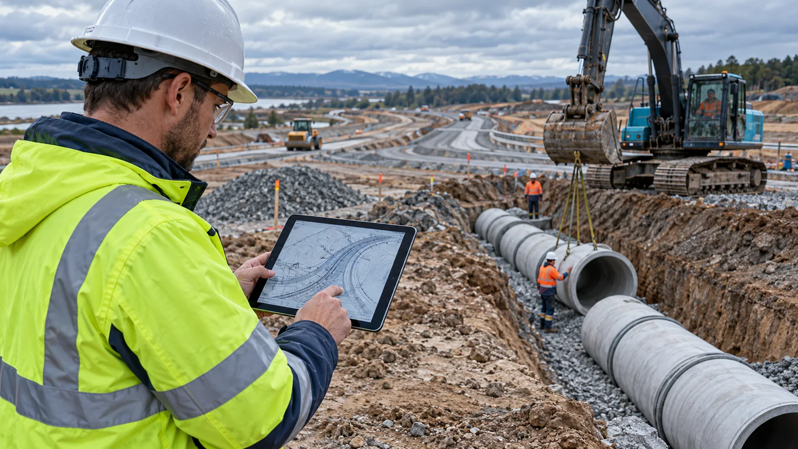
This service spotlight explains how the Fluxiss Civil Engineering Design service takes a site from existing ground to a coordinated set of grading, drainage, utility and roadway drawings. The service is organised into three parts: Civil Engineering Core Services for earthworks, grading and stormwater, Utility Infrastructure Design for water, sewer and shared utility corridors, and Horizontal Transportation Design for roads, pavements and pedestrian routes. Treating them as one workflow matters because a grading level set early in the project decides where water runs, how deep a sewer must be and what gradient a road can take.
Most civil packages start with the ground itself. Civil Engineering Core Services covers earthwork engineering, cut and fill calculations and finished grading plans, with the aim of balancing the site so that the soil removed is reused rather than hauled away and bought back. The finished contours then become the basis for stormwater management, erosion and sediment control and the drainage strategy. Small errors in final levels are expensive to correct after paving, which is why grading and drainage are checked together before any detailed design proceeds.
“See how Fluxiss connects earthworks and grading, stormwater, water and sewer utilities, roadway and pavement design, and code compliance in the USA and UK into one coordinated civil engineering package.”
Utility Infrastructure Design converts the site layout into services that work underground. The scope covers water supply and fire water line sizing with pressure and surge checks, pump stations and storage tanks, gravity and pumped sewer design, separation of surface water from foul flows in line with approaches such as the UK SuDS standards, and onsite wastewater treatment where municipal networks do not reach. Utility coordination in a BIM model resolves conflicts between water, sewer, electrical conduit and telecom routes before excavation, and joint-use utility corridors reduce future excavation for maintenance.
Horizontal Transportation Design covers roadway alignment and geometry to AASHTO Green Book principles, intersections and roundabouts with MUTCD-compliant signage and markings, and asphalt or concrete pavement thickness selected with the AASHTO Mechanistic-Empirical Pavement Design Guide against expected traffic and climate. Sidewalks, curb ramps, crossings and trails are designed to ADA accessibility requirements, and parking areas and access roads are tied back into the same grading and drainage model so that every surface has somewhere for water to go.
Compliance is set by the project location. In the USA, designs are led by licensed Professional Engineers and reference the International Building Code and ASCE 7-22 loads together with EPA and OSHA requirements and local zoning. In the UK, work follows the Building Regulations, CDM 2015 design risk management and the Eurocodes. Typical tools include AutoCAD Civil 3D, Bentley OpenRoads and Revit or Tekla models for coordination with Structural Engineering and MEP Engineering teams, and the service also supports power and Renewable Energies projects such as substation civil works. For early-stage questions, our articles on whether do civil engineers design buildings and on adjusting design strategy for complex civil projects explain where civil scope begins and ends.
Before design begins, a topographic survey, geotechnical report and record of existing utilities remove most of the assumptions that cause redesign later, and our guide to what happens during a site inspection describes what engineers look for on a first visit. Owners comparing firms can read our advice on choosing consultants for MEP, civil and structural assessments, and design teams that run their own checks can use the Civil Engineering Design Master Workbook from the products store. To discuss a project, contact Fluxiss with the site location, survey and geotechnical data, proposed layout, applicable codes and required design stage, or schedule a technical meeting to agree the scope before a proposal is prepared.
Fluxiss Team contributes services insights to the Fluxiss content library.
Related articles.



Let's Build Something Great Together.
Partner with Fluxiss for engineering that holds up - under pressure, under load, under scrutiny.